EarthEnv
Global, remote-sensing supported environmental layers for assessing status and trends in biodiversity, ecosystems, and climate
The EarthEnv project is a collaborative project of biodiversity scientists and remote sensing experts to develop near-global standardized, 1km resolution layers for monitoring and modeling biodiversity, ecosystems, and climate. The work is supported by NCEAS, NASA, NSF, and Yale University.
Mountains
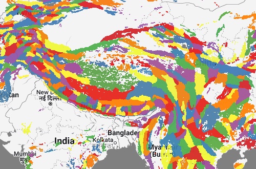
A standardized delineation of the worlds’ mountains has many applications in research, education, and the science-policy interface. Here we provide a new inventory of 8616 mountain ranges developed under the auspices of the Global Mountain Biodiversity Assessment (GMBA). Building on an earlier compilation, the presented geospatial database uses a further advanced and generalized mountain definition and a semi-automated method to enable globally standardized, transparent delineations of mountain ranges worldwide. The inventory is presented on EarthEnv at various hierarchical levels, allowing users to select their preferred level of regional aggregation from continents to small subranges according to their needs and the scale of their analyses. The clearly defined, globally consistent and hierarchical nature of the presented mountain inventory offers a standardized resource for referencing and addressing mountains across basic and applied natural, social sciences research and a range of other uses in science communication and education.
Tropical cloud forests
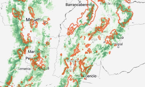
Tropical cloud forests (TCFs) are one of the world’s most species- and endemism-rich terrestrial ecosystems. TCFs are threatened by direct human pressures and climate change, yet the fate of these extraordinary ecosystems remains insufficiently quantified. With discussions of the post-2020 biodiversity framework underway, TCFs are a defining test case of the success and promise of recent policy targets and their associated mechanisms to avert the global biodiversity crisis. Here we present a global assessment of the recent status and trends of TCFs and their biodiversity and evaluate the efficacy of current protection measures. We find that cloud forests occupied 0.4% of the global land surface in 2001 and harboured ~3,700 species of birds, mammal, amphibians and tree ferns (~15% of the global diversity of those groups), with half of those species entirely restricted to cloud forests. Worldwide, ~2.4% of cloud forests (in some regions, more than 8%) were lost between 2001 and 2018, especially in readily accessible places. While protected areas have slowed this decline, a large proportion of loss in TCF cover is still occurring despite formal protection. Increased conservation efforts are needed to avert the impending regional or global demise of TCFs and their unique biodiversity.
Precipitation
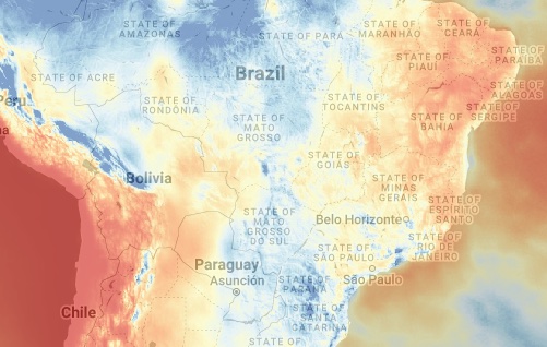
High-resolution climatic data are essential to many questions and applications in environmental research and ecology. Here we develop and implement a new semi-mechanistic downscaling approach for daily precipitation estimate that incorporates high resolution (30 arc sec) satellite-derived cloud frequency. The downscaling algorithm incorporates orographic predictors such as wind fields, valley exposition, and boundary layer height, with a subsequent bias correction. We apply the method to the ERA5 precipitation archive and MODIS monthly cloud cover frequency to develop a daily gridded precipitation time series in 1km resolution for the years 2003 onward. Comparison of the predictions with existing gridded products and station data from the Global Historical Climate Network indicates an improvement in the spatio-temporal performance of the downscaled data in predicting precipitation. Regional scrutiny of the cloud cover correction from a topographically highly heterogeneous area further confirms that CHELSA-EarthEnv performs well in comparison to other precipitation products such as numerical weather models. The presented CHELSA-EarthEnv daily precipitation product improves the temporal accuracy compared to ERA5 but with an additional improved spatial accuracy and much better representation of precipitation in complex terrain.
Topography
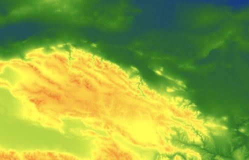
Topographic variation underpins a myriad of patterns and processes in hydrology, climatology, geography and ecology and is key to understanding the variation of life on the planet. We provide a fully standardized and global multivariate product of different terrain features has the potential to support many large-scale research applications. The product is based on the digital elevation model products of global 250 m GMTED2010 and near-global 90 m SRTM4.1dev. We provide the following topographic variables: elevation, slope, aspect, eastness, northness, roughness, terrain roughness index, topographic position index, vector ruggedness measure, profile/tangential curvature, first/second order partial derivative, and 10 geomorphological landform classes. Each variable is provided at different aggregations from 1, 5, 10, 50 to 100 km spatial grains.
Habitat heterogeneity
14 metrics quantifying spatial heterogeneity of global habitat at multiple resolutions based on the textural features of Enhanced Vegetation Index (EVI) imagery acquired by the Moderate Resolution Imaging Spectroradiometer (MODIS).
Consensus land cover
Multiple global remote sensing-derived land-cover products and consensus information on the prevalence of 12 land-cover classes at 1-km resolution.
Cloud cover climatology
Twice-daily remote sensing-derived cloud observations at 1-km resolution integrated over a 15-year period.
90m digital elevation model
Derived from the CGIAR-CSI SRTM v4.1 and ASTER GDEM v2 data products, these data have been processed and merged to provide continuous coverage of ~91% of the globe. Processing and merging methodology are available in Robinson et al. (2014).
Freshwater environmental variables
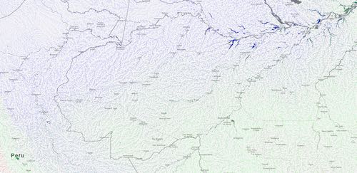
Near-global, spatially continuous, and freshwater-specific environmental variables in a standardized 1km grid. We delineated the sub-catchment for each grid cell along the HydroSHEDS river network and summarized the upstream environment (climate, topography, land cover, surface geology and soil) to each grid cell using various metrics (average, minimum, maximum, range, sum, inverse distance-weighted average and sum).
